Street Guide
Scofield Road
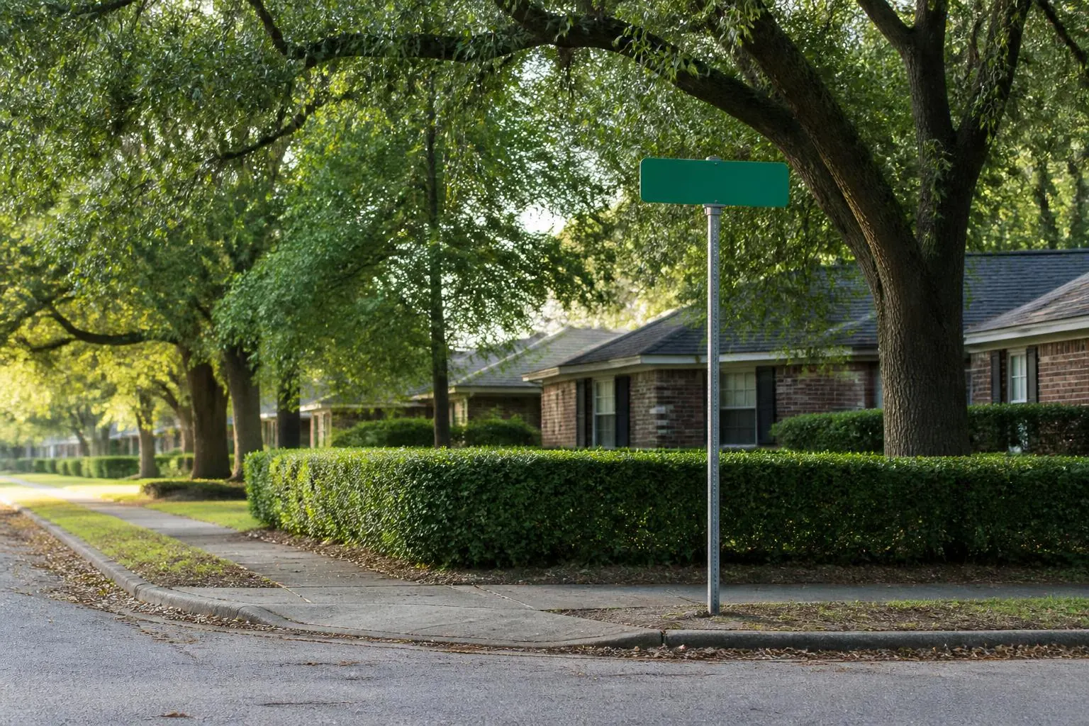
Scofield Road sits inside the Barclay Downs residential grid — mid-century houses, deep lots and a full willow oak canopy.
Scofield Road runs roughly 0.6 miles through the interior residential section of Barclay Downs in Charlotte, North Carolina (ZIP 28211). Measured from the middle of the street, SouthPark Mall is 0.7 miles away — about a 15 minutes at a typical walking pace in a straight-line distance model — with Symphony Park 0.6 miles off and Uptown Charlotte roughly 7.8 miles north. By length it reads as a medium-length run.
| Neighborhood | Barclay Downs, SouthPark, Charlotte, NC 28211 |
|---|---|
| Street section | interior residential |
| Approximate length | 0.6 miles |
| To SouthPark Mall | 0.7 miles straight-line · ~15 min walking estimate |
| To Symphony Park | 0.6 miles straight-line · ~11 min walking estimate |
| To Uptown Charlotte | 7.8 miles |
| Cross streets | Barclay Downs Drive, Fellsway Road, Hatherly Road, Sayre Road, Topping Place, Wintercrest Lane |
| Typical era of construction | 1958–1968, with post-2005 custom rebuilds |
Character
Scofield Road is part of the original Barclay Downs build-out, platted in the late 1950s and 1960s on land that had been the Barclay dairy farm. Lots are generous by modern standards, houses are set back behind real front lawns, and the street trees planted at construction are now sixty-year-old willow oaks that meet overhead for most of the year.
Traffic is local. The grid was designed without through-routes, so cars on Scofield Road are almost always going to a house on Scofield Road.
Housing stock
Expect the neighborhood's full range: original brick ranches and split-levels in largely unchanged condition, mid-century houses that have been renovated and extended into the rear yard, and a growing number of custom homes built in the last fifteen years on lots where the original house came down. That mix is the defining feature of Barclay Downs and it is visible on nearly every core street.
Location
From here, SouthPark Mall, Symphony Park and the Sharon Road restaurant corridor are a short drive or, from the eastern half of the grid, a genuine walk. Uptown Charlotte is fifteen to twenty minutes; Charlotte Douglas International about twenty.
Schools
Barclay Downs addresses have historically been assigned to Selwyn Elementary, Alexander Graham Middle and Myers Park High. Assignments are set by address and change periodically — verify the current assignment for any specific Scofield Road address with Charlotte-Mecklenburg Schools before relying on it.
Research notes for Scofield Road
Street length and straight-line distances on this page are calculated from OpenStreetMap geometry. Walking estimates use a typical pace and are not turn-by-turn route times. Parcel boundaries and addresses can be checked through Mecklenburg County GIS. School assignments must be verified for the exact address through Charlotte-Mecklenburg Schools.
Where Scofield Road connects
Scofield Road meets 6 other mapped streets in and around Barclay Downs. Following them is the fastest way to understand how this part of the grid is stitched together:
- Barclay Downs Drive — interior residential
- Fellsway Road — interior residential
- Hatherly Road — interior residential
- Sayre Road — interior residential
- Topping Place — interior residential
- Wintercrest Lane — bordering residential
Closest restaurants to Scofield Road
Straight-line distance from the centre of Scofield Road to the nearest places to eat and drink in the SouthPark district:
- First Watch — 0.3 miles straight-line (~7 min walking estimate)
- Milk Cha-Cha — 0.3 miles straight-line (~7 min walking estimate)
- 1900 Mexican — 0.4 miles straight-line (~9 min walking estimate)
- McCormick & Schmick's — 0.6 miles straight-line (~12 min walking estimate)